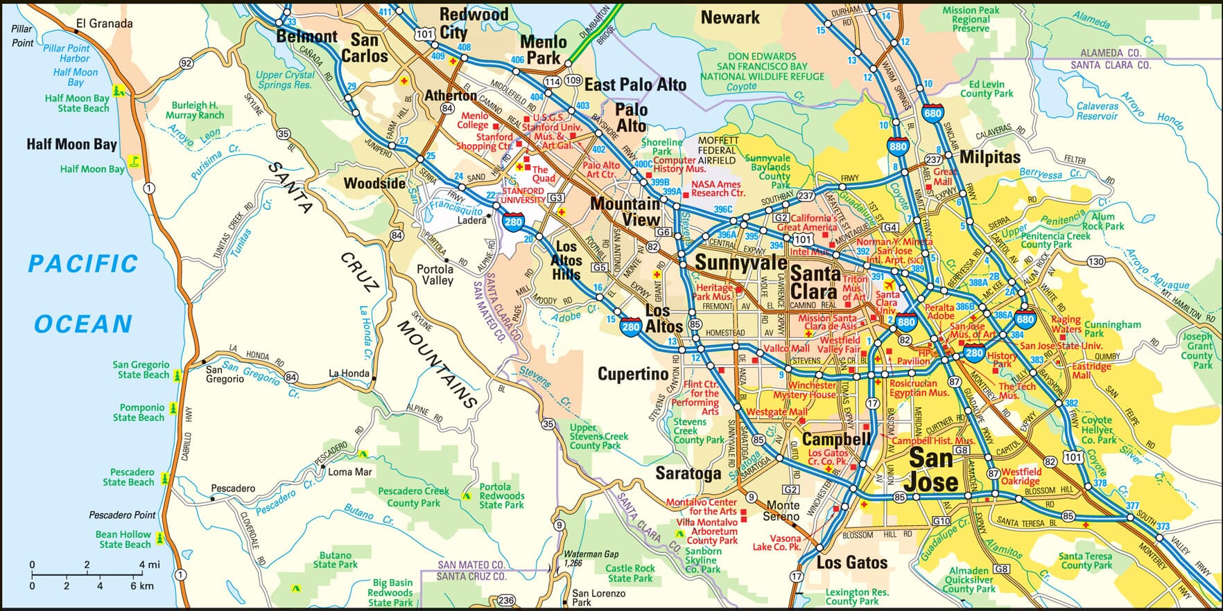
San Jose, California Map
San Jose Map > Interactive San Jose Maps
Metropolitan San Jose Map

The region was originally inhabited by the Native American Ohlone people for over 1,000 years until the arrival of white settlers. In 1777, San Jose was named El Pueblo de San Jose de Guadalupe and became the first civil settlement in Spanish California. After California gained statehood, San Jose briefly served as its first capital from December 15, 1849 to May 1, 1851. San Jose first developed as an agricultural center and was home to many orchards and vineyards. Eventually, urbanization covered the farmland with concrete, strip malls and housing developments, and California's primary location for wine production moved to the Napa Valley.
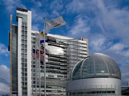
 San Jose City Hall Rotunda
San Jose Information Directory
- San Jose Government - official City of San Jose website.
- San Jose Weather and News - current weather in, and recent news about, San Jose.
- San Jose Product and Service Guide - San Jose enterprises.
- San Jose Area Schools - San Jose educational institutions.
- Santa Clara County Gov't - official Santa Clara County website.
Copyright © 2012-2024 Zeducorp.
All rights reserved.
About Us
The San Jose area map is © Globe Turner.
All rights reserved.
About Us
The San Jose area map is © Globe Turner.